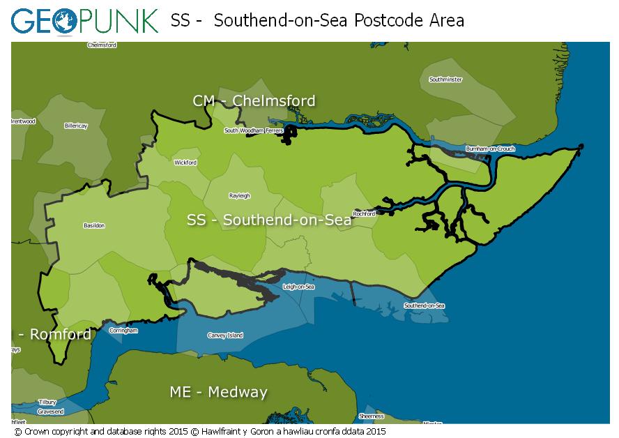
Postcode District: SS Southend-on-Sea
central coordinates: 51.573624174121,0.63229464996332
Map of the SS Southend-on-Sea Postcode Area

Local Authorities Within the SS Southend-on-Sea Postcode Area
Southend-on-Sea (B)Rochford DistrictMaldon District (B)Chelmsford District (B)Thurrock (B)Basildon District (B)Castle Point District (B)Advertisement
Postcode Districts within the SS Postcode Area
SS0SS1SS2SS3SS4SS5SS6SS7SS8SS9SS11SS12SS13SS14SS15SS16SS17Towns and Villages Within the SS Southend-on-Sea Postcode Area
BasildonBenfleetCanvey IslandHockleyLeigh-on-seaRayleighRochfordSouthend-on-seaStanford-le-hopeWestcliff-on-seaWickfordAdvertisement