GeoPunk.co.uk
  • Postcode Areas
  • Council Areas
  • STD Dialling Codes
  • Bus Routes
  • Sunrise and Sunset Times
  • Contact Us
  • Privacy Policy
  • Home
  • Post Code Areas
  • SK
GeoPunk

Postcode District: SK Stockport


central coordinates: 53.312862388347,-1.9993015881631

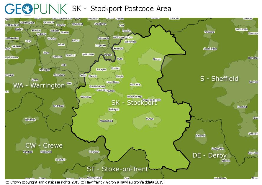
Map of the SK Stockport Postcode Area

map of the SK  Stockport postcode area

Local Authorities Within the SK Stockport Postcode Area

Manchester District (B)Kirklees District (B)Cheshire East (B)Derbyshire Dales DistrictStaffordshire Moorlands DistrictSheffield District (B)Barnsley District (B)Oldham District (B)Stockport District (B)Tameside District (B)High Peak District (B)
Advertisement

Postcode Districts within the SK Postcode Area

SK1SK2SK3SK4SK5SK6SK7SK8SK9SK10SK11SK12SK13SK14SK15SK16SK17SK22SK23

Towns and Villages Within the SK Stockport Postcode Area

Alderley EdgeBuxtonCheadleDukinfieldGlossopHigh PeakHydeMacclesfieldStalybridgeStockportWilmslow
Advertisement

Postcodes Districts Within the SK Stockport Postcode Area

SK1 1SK1 2SK1 3SK1 4SK2 5SK2 6SK2 7SK3 0SK3 8SK3 9SK4 1SK4 2SK4 3SK4 4SK4 5SK5 6SK5 7SK5 8SK6 1SK6 2SK6 3SK6 4SK6 5SK6 6SK6 7SK6 8SK7 1SK7 2SK7 3SK7 4SK7 5SK7 6SK8 1SK8 2SK8 3SK8 4SK8 5SK8 6SK8 7SK9 1SK9 2SK9 3SK9 4SK9 5SK9 6SK9 7SK10 1SK10 2SK10 3SK10 4SK10 5SK11 0SK11 6SK11 7SK11 8SK11 9SK12 1SK12 2SK13 0SK13 1SK13 2SK13 5SK13 6SK13 7SK13 8SK14 1SK14 2SK14 3SK14 4SK14 5SK14 6SK14 8SK15 1SK15 2SK15 3SK16 4SK16 5SK17 0SK17 6SK17 7SK17 8SK17 9SK22 1SK22 2SK22 3SK22 4SK23 0SK23 6SK23 7SK23 9


© geopunk 2025

© Crown copyright and database rights 2025

© Hawlfraint y Goron a hawliau cronfa ddata 2025