
Postcode District: SG Stevenage
central coordinates: 51.9810853136,-0.12454180617104
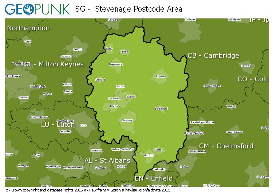
Map of the SG Stevenage Postcode Area
Local Authorities Within the SG Stevenage Postcode Area
Bedford (B)Central BedfordshireWelwyn Hatfield District (B)Uttlesford DistrictHuntingdonshire DistrictNorth Hertfordshire DistrictEast Hertfordshire DistrictStevenage District (B)Harlow DistrictSouth Cambridgeshire DistrictEpping Forest DistrictSt. Albans District (B)Broxbourne District (B)Advertisement
Postcode Districts within the SG Postcode Area
SG1SG2SG3SG4SG5SG6SG7SG8SG9SG10SG11SG12SG13SG14SG15SG16SG17SG18SG19Towns and Villages Within the SG Stevenage Postcode Area
ArleseyBaldockBiggleswadeBuntingfordHenlowHertfordHitchinKnebworthLetchworth Garden CityMuch HadhamRoystonSandySheffordStevenageWareAdvertisement