GeoPunk.co.uk
  • Postcode Areas
  • Council Areas
  • STD Dialling Codes
  • Bus Routes
  • Sunrise and Sunset Times
  • Contact Us
  • Privacy Policy
  • Home
  • Post Code Areas
  • RH
GeoPunk

Postcode District: RH Redhill


central coordinates: 51.089000822356,-0.2589983339791

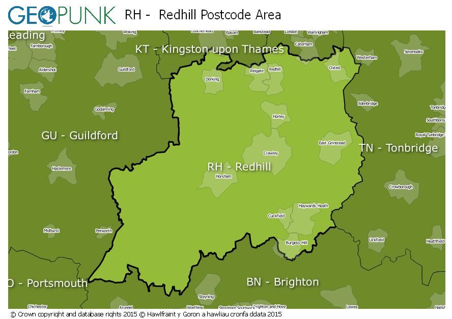
Map of the RH Redhill Postcode Area

map of the RH  Redhill postcode area

Local Authorities Within the RH Redhill Postcode Area

Arun DistrictGuildford District (B)Horsham DistrictMid Sussex DistrictTandridge DistrictReigate and Banstead District (B)Lewes DistrictWaverley District (B)Crawley District (B)Mole Valley DistrictWealden DistrictSevenoaks DistrictChichester District
Advertisement

Postcode Districts within the RH Postcode Area

RH1RH2RH3RH4RH5RH6RH7RH8RH9RH10RH11RH12RH13RH14RH15RH16RH17RH18RH19RH20

Towns and Villages Within the RH Redhill Postcode Area

BetchworthBillingshurstBurgess HillCrawleyDorkingEast GrinsteadForest RowGatwickGodstoneHaywards HeathHorleyHorshamLingfieldOxtedPulboroughRedhillReigate
Advertisement

Postcodes Districts Within the RH Redhill Postcode Area

RH1 1RH1 2RH1 3RH1 4RH1 5RH1 6RH2 0RH2 7RH2 8RH2 9RH3 7RH4 1RH4 2RH4 3RH5 4RH5 5RH5 6RH6 0RH6 7RH6 8RH6 9RH7 6RH8 0RH8 9RH9 8RH10 1RH10 3RH10 4RH10 5RH10 6RH10 7RH10 8RH10 9RH11 0RH11 6RH11 7RH11 8RH11 9RH12 1RH12 2RH12 3RH12 4RH12 5RH13 0RH13 5RH13 6RH13 8RH13 9RH14 0RH14 9RH15 0RH15 8RH15 9RH16 1RH16 2RH16 3RH16 4RH17 5RH17 6RH17 7RH18 5RH19 1RH19 2RH19 3RH19 4RH20 1RH20 2RH20 3RH20 4


© geopunk 2025

© Crown copyright and database rights 2025

© Hawlfraint y Goron a hawliau cronfa ddata 2025