
Postcode District: PH Perth
central coordinates: 56.803539227689,-4.3739098873923
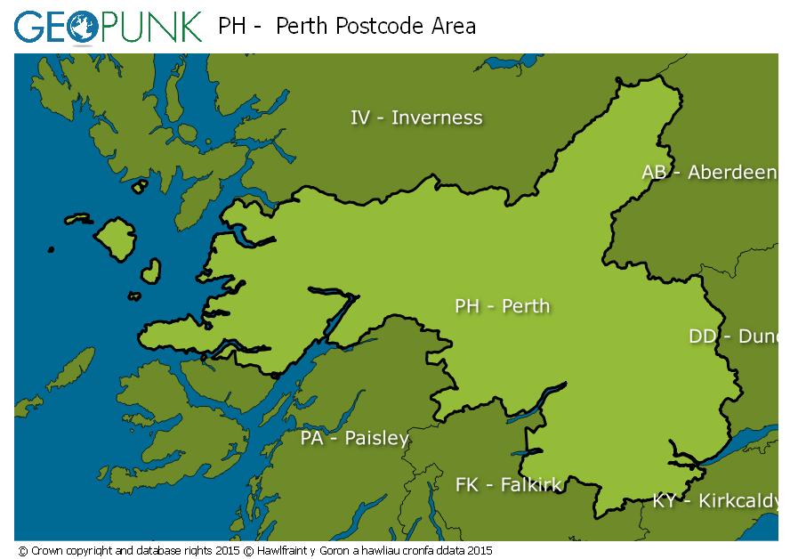
Map of the PH Perth Postcode Area
Local Authorities Within the PH Perth Postcode Area
FifeAngusArgyll and ButeAberdeenshireMorayStirlingPerth and KinrossClackmannanshireHighlandAdvertisement
Postcode Districts within the PH Postcode Area
PH1PH2PH3PH4PH5PH6PH7PH8PH9PH10PH11PH12PH13PH14PH15PH16PH17PH18PH19PH20PH21PH22PH23PH24PH25PH26PH30PH31PH32PH33PH34PH35PH36PH37PH38PH39PH40PH41PH42PH43PH44PH49PH50Towns and Villages Within the PH Perth Postcode Area
AberfeldyAcharacleArisaigAuchterarderAviemoreBallachulishBlairgowrieBoat Of GartenCarrbridgeCorrourCrieffDalwhinnieDunkeldFort AugustusFort WilliamGlenfinnanGrantown-on-speyInvergarryIsle Of CannaIsle Of EiggIsle Of RumKingussieKinlochlevenLochailortMallaigNethy BridgeNewtonmorePerthPitlochryRoy BridgeSpean BridgeAdvertisement