Toggle navigation
GeoPunk.co.uk
Postcode Areas
Council Areas
STD Dialling Codes
Bus Routes
Sunrise and Sunset Times
Contact Us
Privacy Policy
Home
Post Code Areas
M
Postcode District: M Manchester
central coordinates: 53.482469607669,-2.2991594706474
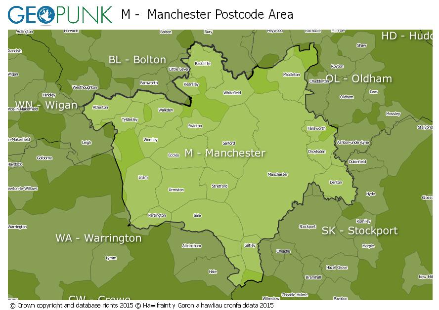
Map of the M Manchester Postcode Area
Local Authorities Within the M Manchester Postcode Area
Manchester District (B)
Bury District (B)
Cheshire East (B)
Oldham District (B)
Stockport District (B)
Wigan District (B)
Warrington (B)
Rochdale District (B)
Bolton District (B)
Trafford District (B)
Tameside District (B)
Salford District (B)
Advertisement
Postcode Districts within the M Postcode Area
M1
M2
M3
M4
M5
M6
M7
M8
M9
M11
M12
M13
M14
M15
M16
M17
M18
M19
M20
M21
M22
M23
M24
M25
M26
M27
M28
M29
M30
M31
M32
M33
M34
M35
M38
M40
M41
M43
M44
M45
M46
M50
M90
Towns and Villages Within the M Manchester Postcode Area
Manchester
Sale
Salford
Advertisement
Postcodes Districts Within the M Manchester Postcode Area
M1 1
M1 2
M1 3
M1 4
M1 5
M1 6
M1 7
M2 1
M2 2
M2 3
M2 4
M2 5
M2 6
M2 7
M3 1
M3 2
M3 3
M3 4
M3 5
M3 6
M3 7
M4 1
M4 2
M4 3
M4 4
M4 5
M4 6
M4 7
M5 3
M5 4
M5 5
M6 5
M6 6
M6 7
M6 8
M7 1
M7 2
M7 3
M7 4
M8 0
M8 4
M8 5
M8 8
M8 9
M9 0
M9 4
M9 5
M9 6
M9 7
M9 8
M11 1
M11 2
M11 3
M11 4
M12 4
M12 5
M12 6
M13 0
M13 9
M14 4
M14 5
M14 6
M14 7
M15 4
M15 5
M15 6
M16 0
M16 7
M16 8
M16 9
M17 1
M17 8
M18 7
M18 8
M19 1
M19 2
M19 3
M20 1
M20 2
M20 3
M20 4
M20 5
M20 6
M21 0
M21 7
M21 8
M21 9
M22 0
M22 1
M22 4
M22 5
M22 8
M22 9
M23 0
M23 1
M23 2
M23 9
M24 1
M24 2
M24 4
M24 5
M24 6
M25 0
M25 1
M25 2
M25 3
M25 9
M26 1
M26 2
M26 3
M26 4
M27 0
M27 4
M27 5
M27 6
M27 8
M27 9
M28 0
M28 1
M28 2
M28 3
M28 7
M29 7
M29 8
M30 0
M30 7
M30 8
M30 9
M31 4
M32 0
M32 8
M32 9
M33 2
M33 3
M33 4
M33 5
M33 6
M33 7
M34 2
M34 3
M34 5
M34 6
M34 7
M35 0
M35 9
M38 0
M38 9
M40 0
M40 1
M40 2
M40 3
M40 5
M40 7
M40 8
M40 9
M41 0
M41 5
M41 6
M41 7
M41 8
M41 9
M43 6
M43 7
M44 5
M44 6
M45 6
M45 7
M45 8
M46 0
M46 9
M50 1
M50 2
M50 3
M90 1
M90 2
M90 3
M90 4
M90 5