Toggle navigation
GeoPunk.co.uk
Postcode Areas
Council Areas
STD Dialling Codes
Bus Routes
Sunrise and Sunset Times
Contact Us
Privacy Policy
Home
Post Code Areas
IG
Postcode District: IG Ilford
central coordinates: 51.603024735242,0.07596327535258
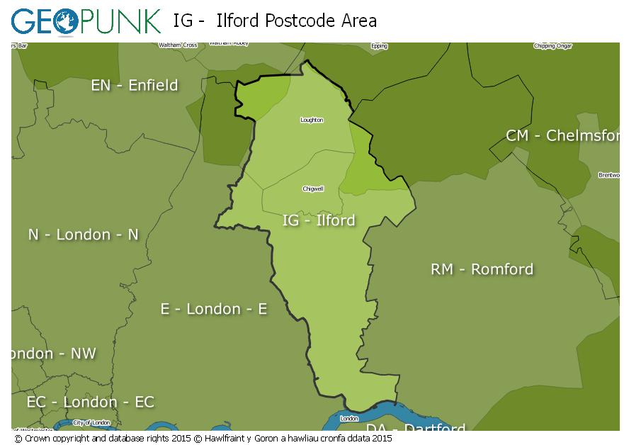
Map of the IG Ilford Postcode Area
Local Authorities Within the IG Ilford Postcode Area
Waltham Forest London Boro
Newham London Boro
Redbridge London Boro
Barking and Dagenham London Boro
Havering London Boro
Epping Forest District
Advertisement
Postcode Districts within the IG Postcode Area
IG1
IG2
IG3
IG4
IG5
IG6
IG7
IG8
IG9
IG10
IG11
Towns and Villages Within the IG Ilford Postcode Area
Barking
Buckhurst Hill
Chigwell
Ilford
Loughton
Woodford Green
Advertisement
Postcodes Districts Within the IG Ilford Postcode Area
IG1 1
IG1 2
IG1 3
IG1 4
IG2 6
IG2 7
IG3 8
IG3 9
IG4 5
IG5 0
IG6 1
IG6 2
IG6 3
IG7 4
IG7 5
IG7 6
IG8 0
IG8 7
IG8 8
IG8 9
IG9 5
IG9 6
IG10 1
IG10 2
IG10 3
IG10 4
IG11 0
IG11 7
IG11 8
IG11 9