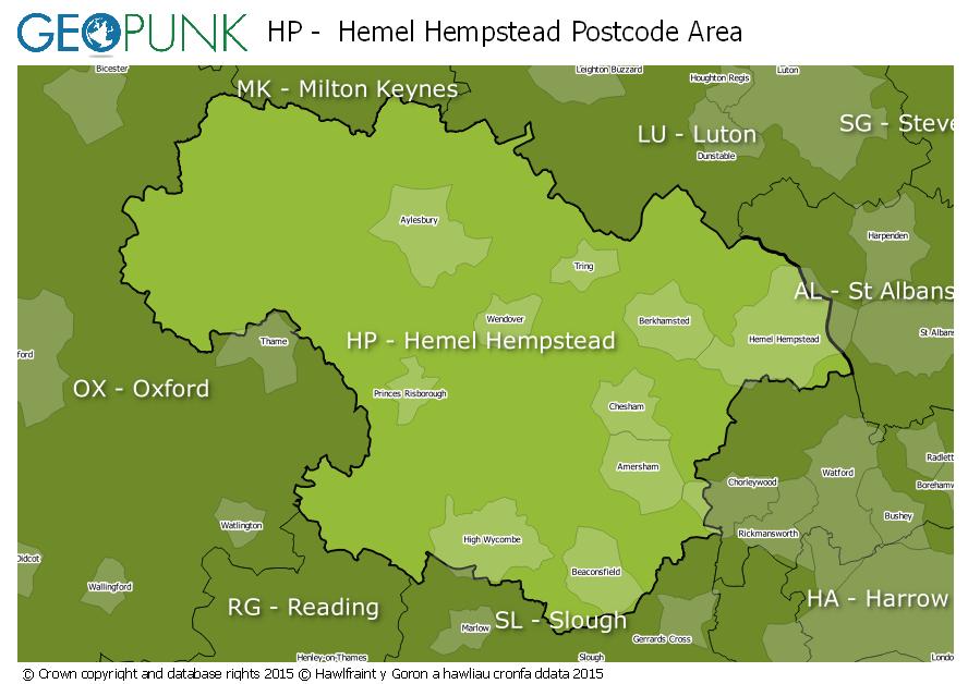
Postcode District: HP Hemel Hempstead
central coordinates: 51.752006803835,-0.76236697977842
Map of the HP Hemel Hempstead Postcode Area

Local Authorities Within the HP Hemel Hempstead Postcode Area
BuckinghamshireDacorum District (B)Three Rivers DistrictCherwell DistrictSt. Albans District (B)South Oxfordshire DistrictCentral BedfordshireAdvertisement
Postcode Districts within the HP Postcode Area
HP1HP2HP3HP4HP5HP6HP7HP8HP9HP10HP11HP12HP13HP14HP15HP16HP17HP18HP19HP20HP21HP22HP23HP27Towns and Villages Within the HP Hemel Hempstead Postcode Area
AmershamAylesburyBeaconsfieldBerkhamstedChalfont St. GilesCheshamGreat MissendenHemel HempsteadHigh WycombePrinces RisboroughTringAdvertisement