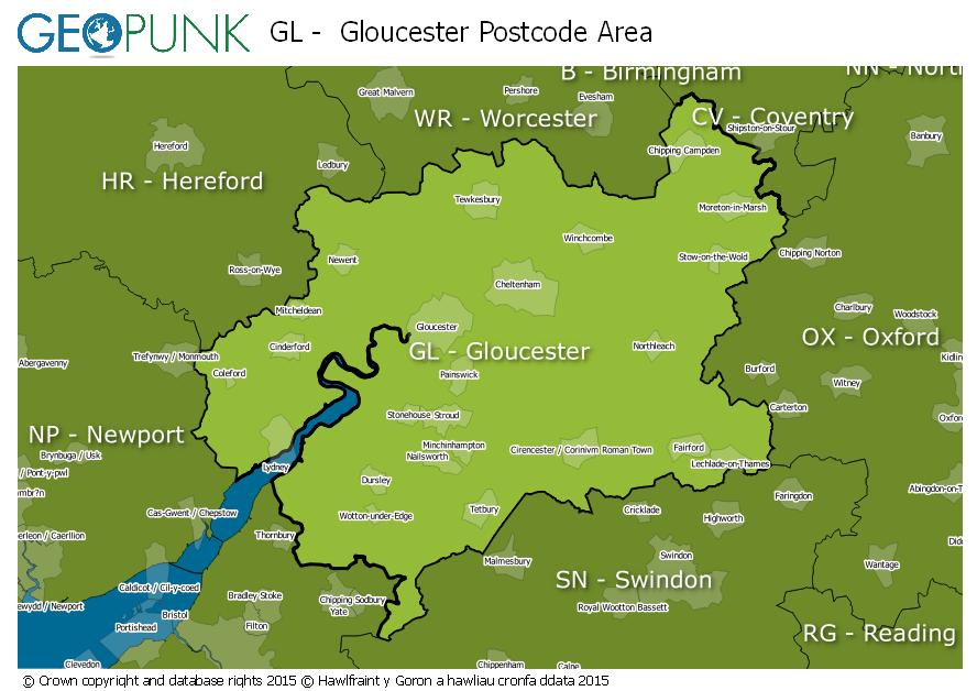
Postcode District: GL Gloucester
central coordinates: 51.821589949958,-2.1231631795403
Map of the GL Gloucester Postcode Area

Local Authorities Within the GL Gloucester Postcode Area
Tewkesbury District (B)Stratford-on-Avon DistrictSwindon (B)Gloucester District (B)West Oxfordshire DistrictWiltshireCheltenham District (B)Sir Fynwy - MonmouthshireWychavon DistrictCounty of HerefordshireForest of Dean DistrictVale of White Horse DistrictMalvern Hills DistrictSouth GloucestershireCotswold DistrictStroud DistrictAdvertisement
Postcode Districts within the GL Postcode Area
GL1GL2GL3GL4GL5GL6GL7GL8GL9GL10GL11GL12GL13GL14GL15GL16GL17GL18GL19GL20GL50GL51GL52GL53GL54GL55GL56Towns and Villages Within the GL Gloucester Postcode Area
BadmintonBerkeleyBlakeneyCheltenhamChipping CampdenCinderfordCirencesterColefordDrybrookDursleyDymockFairfordGloucesterLechladeLonghopeLydneyMoreton-in-marshNewentNewnhamStonehouseStroudTetburyTewkesburyWotton-under-edgeAdvertisement