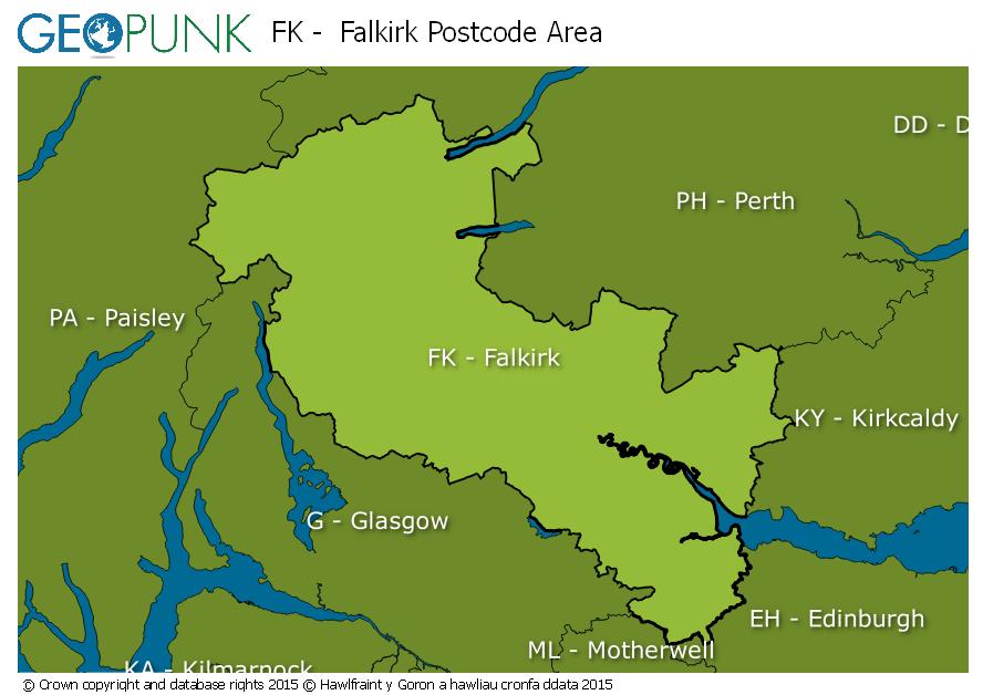
Postcode District: FK Falkirk
central coordinates: 56.237246960073,-4.1984956723089
Map of the FK Falkirk Postcode Area

Local Authorities Within the FK Falkirk Postcode Area
Argyll and ButeWest LothianNorth LanarkshireFalkirkPerth and KinrossStirlingClackmannanshireFifeAdvertisement
Postcode Districts within the FK Postcode Area
FK1FK2FK3FK4FK5FK6FK7FK8FK9FK10FK11FK12FK13FK14FK15FK16FK17FK18FK19FK20FK21Towns and Villages Within the FK Falkirk Postcode Area
AlloaAlvaBonnybridgeCallanderCrianlarichDennyDollarDouneDunblaneFalkirkGrangemouthKillinLarbertLochearnheadMenstrieStirlingTillicoultryAdvertisement