
Shetland Islands Council
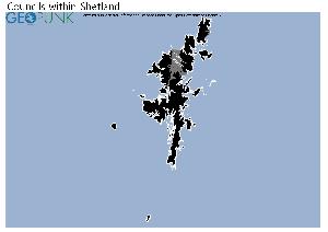
Map of the Shetland Islands Council Area
The area shaded blue on the map represents the extent of Shetland Islands Council. The map pin represents the location of the council offices.
Shetland Islands Council has a population of 22,000.
Shetland Islands Council is within the ceremonial county of Shetland
click to enlarge
Download Print Quality PDF of Councils in Shetland
Councils Neighbouring Shetland Islands Council
Wards within Shetland Islands Council
click to enlarge
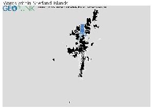
- North Isles
- Shetland North
- Shetland West
- Shetland Central
- Shetland South
- Lerwick North
- Lerwick South
Download Print Quality PDF of Wards in Shetland Islands Council
Shetland Islands Council Contact Details
| Website | http://www.shetland.gov.uk |
| Contact Us Page | http://www.shetland.gov.uk/about_contact_us/ |
| Address | Town Hall |
| Upper Hillhead | |
| Town | Lerwick |
| County | Shetland |
| Postcode | ZE1 0HB |
| Telephone Number | 01595 693 535 |
| Fax Number | 01595 744 509 |
| Main Contact Email | info@shetland.gov.uk |
Details for Shetland Islands Council
| Local Authority Name | Shetland Islands Council |
| SNAC Code | 00RD |
| Postcode | ZE1 0HB |
| Latitude | 60.1544389698 |
| Longitude | -1.14622911477 |
| Country | Scotland |
| NHS Health Authority | Shetland |
| Parliamentary Constituency | Orkney and Shetland |
| European Electoral Region | Scotland |
| Primary Care Trust | Shetland Community Health Partnership |
| Region | |
| Admin County | |
| ONS Code | S12000027 |
Political Make Up of Shetland Islands Council
2022 Election Results for Shetland Islands Council
| Council Seats up for Election | All |
|---|---|
| Scottish National Party | 1 |
| Labour | 1 |
| Liberal Democrats | 0 |
| Green Party | 0 |
| Conservatives | 0 |
| Others | 20 |
| Vacant Seats | 1 |